Engineering Ebbs and Flows-Why does TVA lower the water? by Mark Engler
The 49 TVA dams across the region – 29 of which have hydroelectric facilities – all have performance targets and management objectives to meet throughout the year The Tennessee River Basin’s more than 41,000 square mile receives 51 inches of rain on average each year – at least a dozen inches in excess of the amount that annually falls on Seattle, Washington. The ebb and flow of water above and below the dam can impact recreational activities such as rafting, paddling, boating, and fishing for outdoor enthusiasts.
River management follows somewhat predictable patterns year to year and over the course of the seasons. Hotter temperatures conducive to evaporation – along with the warm-weather bloom of thirsty vegetation in the watersheds – enables TVA to allow spring rains fill up the valley’s lakes and rivers, which makes for optimal summer recreation. As summer wanes and fall approaches, the agency’s focus shifts to flood management and preparing the system for the sustained precipitation soaks and heavy runoff events of winter. This is achieved by lowering lake levels – especially in the mountain tributary reservoirs – during what’s called the “drawdown” phase.
The Tennessee Valley Authority river-flow management staff sees promotion of outdoor sporting enjoyment as a key piece of the “big puzzle” that resource managers try to fit together, the pieces shift in shapes and sizes from month to month and year to year. (read more)
Link to the dam release schedule
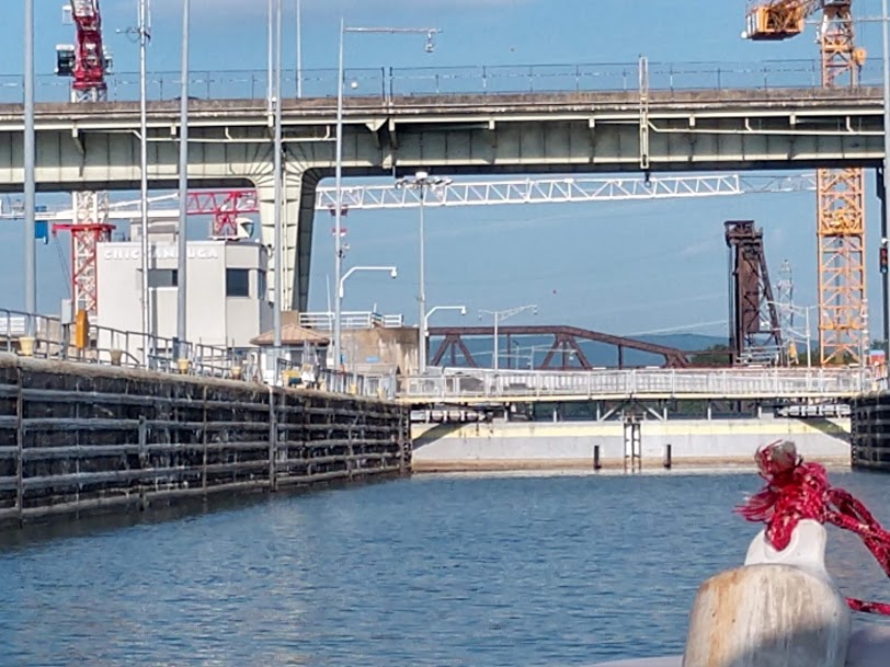
Don’t forget to refresh your skills at navigating through the locks. Learn more here.
Recent Comments